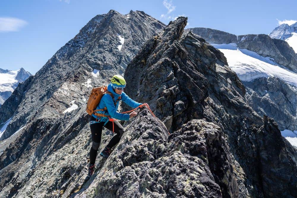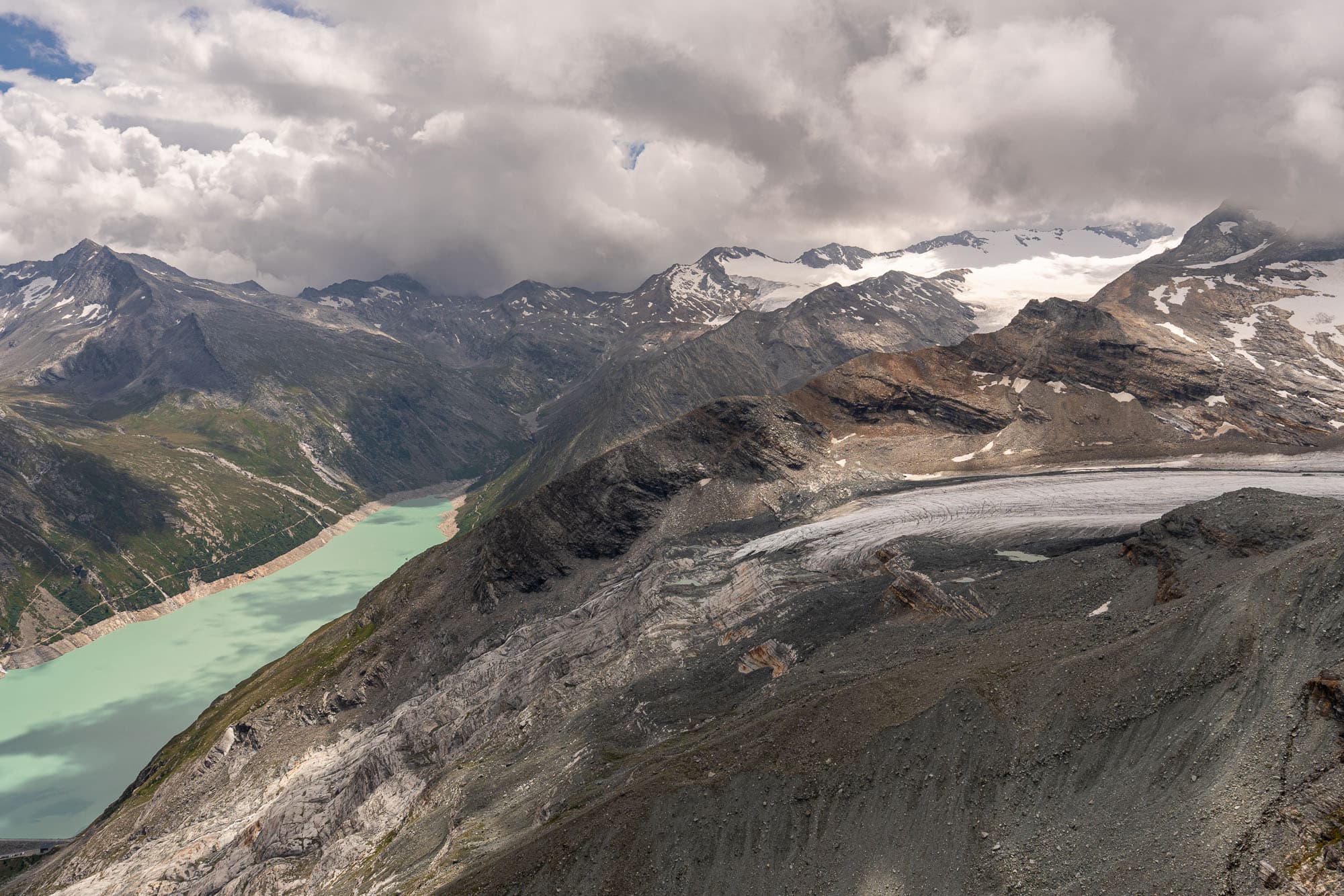

After the PostBus ride from Saas-Grund to the Mattmark reservoir, you feel almost immediately how civilisation recedes and the wildness of the Valais Alps takes over. The vegetation outside the bus windows grows sparser, the tree line is soon reached, and by the time you arrive at the Mattmark dam it is long behind you. At an altitude of 2,195 m, only the sparse yet beautiful high-alpine flora accompanies us over the next few kilometres from the lake up towards the Schwarzbergchopf.
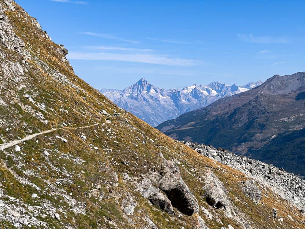
From the Restaurant Mattmark, we first follow a wide track along the western shore of the lake. After a short, not-too-dark tunnel, the Valais sun accompanies us once again on the way to the Schwarzbergalp at 2,373 m, where in the summer months the cowbells are the only sound interrupting the rushing of the glacial streams. This is where the road ends and the actual hiking trail begins to wind its way up the eastern flank of the Schwarzbergchopf.
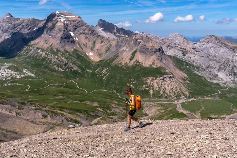
On the opposite side of the valley, the view opens up to the Stellihorn, the Almagellerhorn and the unusually rocky side of the 4,023 m Weissmies. The turquoise-green Mattmark reservoir slowly disappears below us as we steadily gain altitude and approach the Schwarzbergchopf at 2,869 m, the "summit" of the Saas-Fee Glacier Trail, so to speak. Our gaze follows the shrinking Allalin Glacier, which today hardly comes dangerously close to the rocky drop-offs above the Saas Valley anymore. It was a different story in 1965, when one of the worst disasters in the modern construction history of Switzerland occurred here: 88 people working on the construction site of the Mattmark dam lost their lives when an ice avalanche broke off.
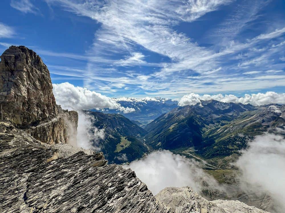
Despite this tragedy, it is also worth taking in the Valais four-thousanders that tower above the Allalin Glacier to the west. The Strahlhorn, the Rimpfischhorn and the otherwise rather inconspicuous Allalinhorn clearly dominate the scenery here, while the Alphubel, Täschhorn and Dom can only be made out in the distance above the Egginerjoch. To the south, the lesser-known side of the Valais Alps reveals itself: beyond the vast Schwarzberg Glacier stand the Corno Rosso, the Cresta di Stenigalchi and the Corno Nero, somewhat in the shadow of their neighbours that rise above the magical 4,000-metre mark.
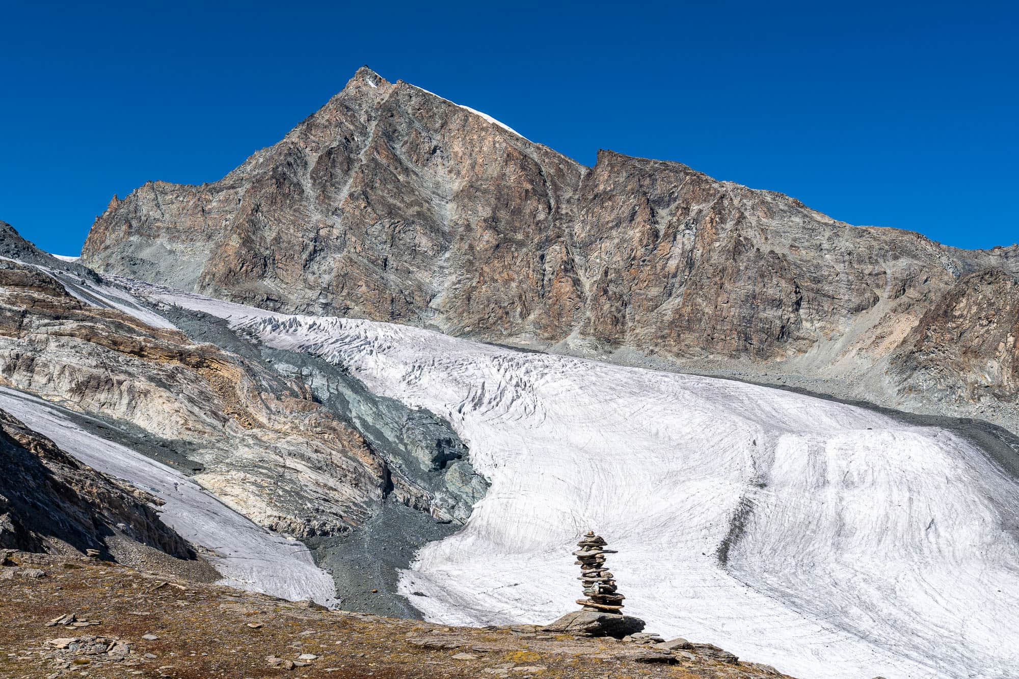
After an extended break, the trail now leads us into noticeably more alpine terrain. The hiking trail, marked white-red-white up to this point, becomes a white-blue-white alpine route with a distinctly more demanding character than the leisurely ascent of the Schwarzbergchopf. We descend through scree-covered terrain towards the Allalin Glacier and soon find ourselves, almost without noticing, standing on its dead ice, which here is still almost completely covered with rubble. The emphasis is on "almost", because the ice lies just a few centimetres below the surface and is sometimes exposed, as the woman walking ahead of us learns the painful way. Fortunately, her slip on the bare ice has no serious consequences, and she and her companion continue along the Glacier Trail.
We are now almost level with the actual glacier and still need to find a suitable crossing point onto the grippy ice. This is a task not to be underestimated, and it can be the trickiest moment of the glacier hike. The edge of the glacier is somewhat steeper, and without crampons it is best to choose your route here with care and caution. Once you have reached the ice, grippy glacier ice awaits, depending on the air temperature, and nothing stands in the way of continuing north towards the Britannia Hut, which is already in sight.
The route across the glacier is fairly well marked, but you should still bring a certain degree of navigational skill. After all, you are on an expansive glacier whose marker poles tend to topple over as the ice melts out around them. The flow of the ice also means that the access points onto and off the glacier are constantly changing, requiring you to adapt your choice of route. In poor visibility, route-finding should not be underestimated either.
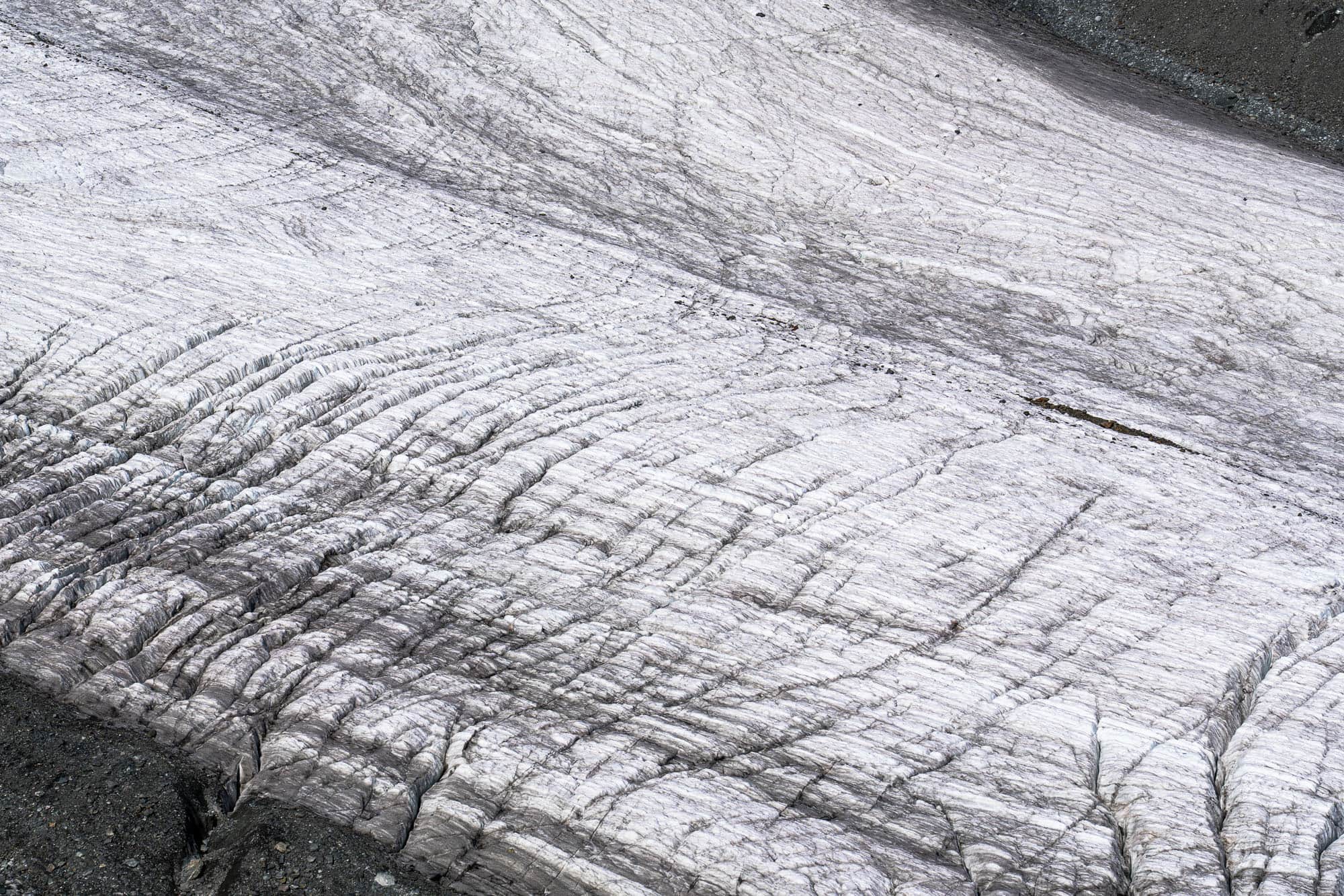
After crossing the Allalin Glacier, a more demanding section follows through scree and boulder terrain to Pt. 2910, where the short crossing of the Hohlaub Glacier begins. How much longer it will actually be possible to walk across a glacier here remains to be seen. In 2026, however, we once again follow the grippy glacier ice towards the Britannia Hut, already clearly visible, which awaits us with cold drinks and good hut cake in the notch between the Klein Allalin and the long ridge of the Hinter Allalin.
Before that, however, around 170 metres of ascent still remain. The path gets better with every metre and leads beneath the rock face with the via ferrata to the hut at 3,028 m. The Britannia Hut is one of the most popular and most visited SAC huts, so you will meet plenty of mountain folk around the hut and on its nearby local peak, the Klein Allalin (3,070 m). If you have the time, treat yourself to a break with something to eat and drink on the cosy terrace, because the view over the Saas-Fee Glacier Trail and of the Strahlhorn, Fluchthorn, Rimpfischhorn and Allalinhorn is too beautiful to simply pass by. The Mattmark reservoir now lies far in the distance, and you can take pride in the metres of ascent that have brought us here across the Allalin Glacier and the Hohlaub Glacier.
For the rest of the route, we first have to lose around 150 metres of altitude, which we then get to earn back straight away. After all, the calories from the hut cake have to be burned off somehow. From Pt. 2863, the hiking trail climbs again beneath the rock face of the Egginer towards the Egginerjoch of the same name, where you have to decide: around 20 minutes traversing to the Felskinn station, or a 30-minute descent over scree and bulldozed ski-area ramps down to Morenia.
You should think carefully before descending all the way to Saas-Fee on foot, as around 1,400 metres of not particularly knee-friendly descent await, and the scenery is only partly interesting. We have already made our decision, and a little later we glide contentedly down to Saas-Fee on the cable car from Morenia, with the memory of an impressive hike across the glaciers still fresh in our minds.