
You couldn’t ask for a more impressive starting point for this loop hike: right at the Crown of the Grande Dixence, the world’s tallest dam at 285 m, which holds back the turquoise-blue Lac des Dix in the Val des Dix. Even the trail leading up there makes it clear that up here, everything is on a grander scale than elsewhere in the Valais Alps.
The first thing that catches my eye, however, isn’t the dam itself, but the rather ugly building at its base: a gray concrete cube that feels completely oversized. Historically speaking, there must be a reason it stands right here. For the hike to the Col des Roux, however, that’s of only secondary importance, because shortly after setting out, the focus shifts entirely to the incredible mass of the dam itself.
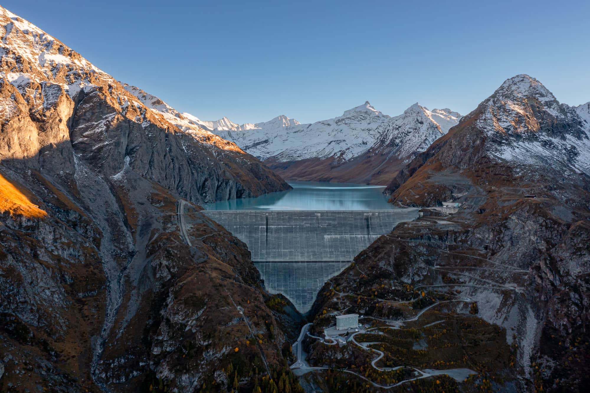
I now have about 250 meters of elevation gain ahead of me before I reach the dam—a distance that, in theory, could also be shortened by taking the small cable car. The tiny gondola takes visitors up to the crest of the dam at 2,376 m every 10 minutes. Anyone arriving here, whether on foot or by gondola, should take a few minutes to explore the structure before continuing on to the Combe de Prafleuri and leaving the lake behind for the time being. By this point at the latest, you’ll have left most of the other tourists behind, and after a short descent to the valley floor, another 300 meters of elevation gain await on the way up to the Cabane de Prafleuri (2,662 m). The reason for the short detour downhill is the “new” hiking trail, which was rerouted away from a rockfall-prone area and now runs farther from the southern valley flank. While this has largely mitigated the rockfall risk, you should watch out for livestock guard dogs in this area; they’re barely visible among the sheep herds and are quite capable of defending their territory.
I climb steeply alongside a small stream; the sound of the water is the only noise that can still be heard here. At just over 2,500 m, I rejoin the old trail and now make my way along the base of a rock face toward the upper valley floor near P. 2623. I’m lucky today—the trail is dry and ice-free. In the spring, conditions here can get quite treacherous if parts of the trail are still icy. The final few meters up to the Cabane de Prafleuri are quickly covered, and the huge, flat area in front of the hut is the perfect spot for a break.
The Cabane de Prafleuri is a classic SAC hut with room for just under 60 people and is located right in the middle of the so-called “Ibex Trail,” which is immediately reflected in the hut’s logo featuring a prominent ibex. It is staffed from July through September and in April for the ski touring season; in between, a winter shelter is available for use. By the way, the food here is mostly vegetarian and, if the reviews are to be believed, surprisingly good.
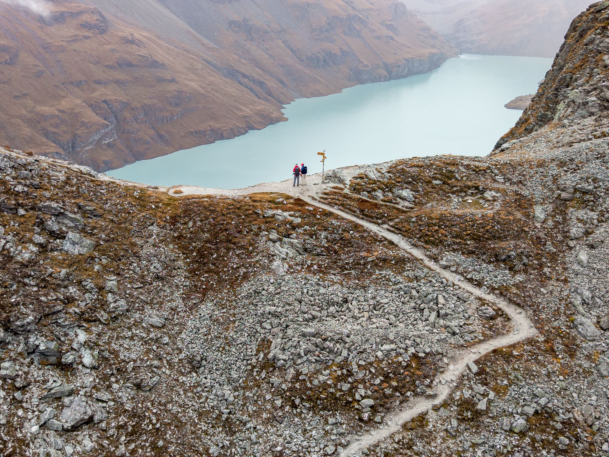
After a short break, I tackle the remaining 150 meters of elevation gain up to the Col des Roux. Crossing a scree field, I quickly reach the switchbacks of the trail, which now climbs steadily and takes me to the pass in about 30 minutes from the hut. You should really take the time to enjoy the last few meters, as the view now opens up to Lac des Dix and the mountains beyond, surrounding Mont Blanc de Cheilon (3,870 m) and the Pigne d’Arolla (3,787 m).
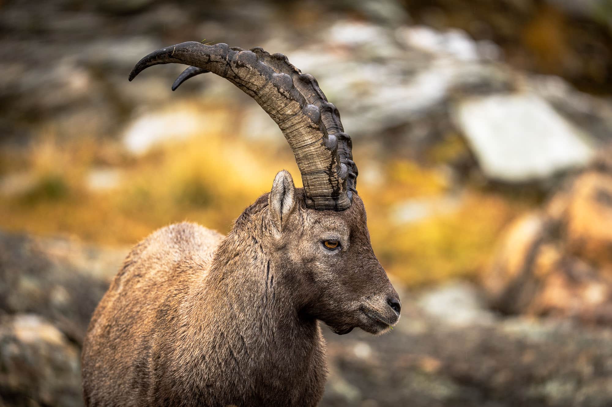
With a little luck, you can spot ibex and chamois here in the Col des Roux area (2,804 m), as they are regularly seen in this region: Ibex are usually found in small groups on the rockier slopes, while chamois tend to be alone or in pairs on the steeper, grassy sections. If you don’t spot any here, you’ll have another chance on the descent around P. 2730—keep your eyes peeled, especially during the quiet morning and evening hours when the animals are more active.
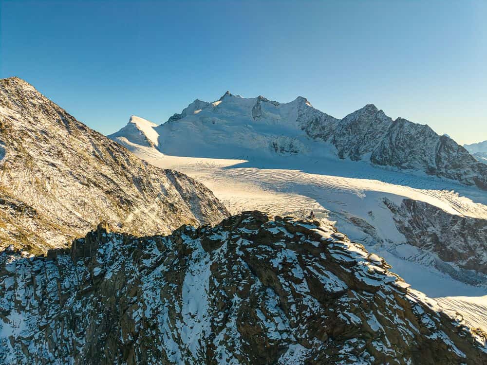
Regardless of the wildlife, however, your gaze will repeatedly drift over the vast reservoir and inevitably linger on the icy mountains in the background. Alongside the Pigne d’Arolla, the Mont Blanc de Cheilon, La Ruinette, and La Luette rise in succession, while the Glacier de Cheilon winds its way down into the valley. The Cabane des Dix isn’t visible from here; it sits atop a small hill just behind the Tête Noire.
The descent from Col des Roux is enjoyable and takes me down to the Cabane des Ecoulaies at 2,575 m in a relatively short time. This small private hut belongs to the Euseigne Ski Club and falls somewhere between a staffed and an unstaffed hut: On weekends from mid-July through the end of September, volunteers take care of the essentials, but you must bring your own food in any case. It’s certainly enough for a quick rest along the trail.
After that, the trail winds picturesquely along a ridge straight down toward the water’s surface, passes a small waterfall, and ends on the wide hiking trail that runs along the lake’s shore.
This is where the technically easiest part begins, though it’s no less varied due to several tunnels, some of which are quite long. Thanks to electric lighting in the longest tunnel, this isn’t a problem either, and not too much later I reach the dam again, where my loop hike over the Col des Roux began a few hours ago. I tackle the descent on foot once more, although here, too, you could choose the more knee-friendly option of taking the cable car.